|
|
Infrastructure indicators road for 1970 (2012 - 2012)
| Reference: |
TCP International |
| Customer: |
ETH Zurich |
| Projectpartner: |
|
| Competences: |
Engineering |
| Division: |
Professional and Analytical Services and Tools |
| Contact: |
Dr.-Ing. Carsten Schürmann |
|
| Description: |
|
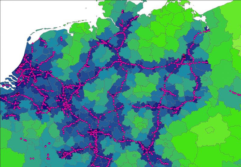
On behalf of ETH Zurich different infrastructure indicators for roads in Europe have been calculated as backcast for the year 1970, based upon NUTS-2 and NUTS-3 regional units. Calculated indicators include the average distance to next motorway ramp, the length of the motorway as well as the length of national roads in 1970. Calculation relied on the RRG GIS Database, which already includes the historic development of the trans-European transport networks. The indicator on the average distance to next motorway exit was calculated by dividing Europe into regular-spaced grid cells of 2.5x2.5 km size, where the distance from each cell to the nearest motorway ramp was calculated. After that the raster results were aggregated to NUTS-2/3 units.
|
|
| More Information |
|
| Download: |
|
| Link: |
|
|